Geography Digital Classroom for basic teaching and research learning
Negotiable Min Order Quantity Unit
- Required Quantity
-
- Place of Origin
- China
- Brand name
- GENGYUN
- Payment Terms
- T/T,Western Union
- Production method
- Negotiable
- Shipping / Lead Time
- Negotiable / Negotiable

Jane Won Education Equipment Development Limited
- Verified Certificate
-
8


| Product name | Geography Digital Classroom for basic teaching and research learning | Certification | - |
|---|---|---|---|
| Category |
Other Consumer Electronics
Home Audio & Television Electrical Supplies LED Displays Other Optoelectronic Displays |
Ingredients | - |
| Keyword | geographic information system , geography science , geography , geography classroom | Unit Size | - |
| Brand name | GENGYUN | Unit Weigh | - |
| origin | China | Stock | - |
| Supply type | - | HS code | - |
Product Information
I. Normative reference standards
u “Specifications for the Equipment of Special Classrooms for Geography of Middle School” by the Ministry of Education
u
JY/T 0386-2006 “Standard of
u JY/T 0385-0385 “Standard of Primary and Secondary School Science Teaching Instrument”
u JY/T 0406-2010 “Standard of High School Science Teaching Instrument”
In combination with the characteristics of geography courses and science education and the development trend and trend of information technology, the following ideas are followed in the design of digital geography classrooms:
1. Focus on practical teaching, give consideration to research-based learning, school-based curriculum development and interest group activities;
2. Highlight the frontier of geography and education characteristics of science, and highlight the combination of natural geography and human geography;
3. Make full use of modern education technology, take "digitalization" as the leading role, break through the limitation of time and space, provide more high-quality and updated scientific information for students, and timely integrate the latest achievements into the teaching process;
4. Meet students' different geographical learning needs, establish diversified and selective geographical teaching environment, and meet students' different learning needs of exploring natural mysteries, understanding social living environment and mastering modern geographical science, technology and methods;
5. Support and prop up the transition from the lecture-based teaching mode relying on traditional classrooms and traditional media and technology in the past to the developmental teaching mode relying on independent learning and collaborative learning in the digital information technology environment.
II. Functions and requirements
2.1 design requirements
In order to facilitate students to access a variety of geographical information data such as dynamic environmental data, remote sensing and telemetry data and data of geographical cases involved in each standard course and textbook, facilitate students to carry out practical activities, and create conditions for exploratory learning and subject experimental activities; Create conditions for heuristic, inquiry-based, discussion and participatory teaching; Infiltrate the frontier of geographical science development into the course teaching.
2.2 functional requirements
It can meet the requirements of geography education teaching and facilitate students to be familiar with, touch and operate conventional geographical teaching instruments and modern geographic information technology. Learn to use the globe and digital planet system to locate and obtain information about people, regions and the environment; Ability to use and build maps; Learn to select and use appropriate graphic skills to present maps and evidence in diagrams; Learn how to select and use indirect evidences -- satellite remote sensing images and other data (instruments, models, specimens, etc.) for learning; Learn how to use modern geographic information technology to obtain dynamic geographic change information, master 3S technology to process, present and analyze geographical evidence; Understand how to create virtual real 3d geospatial environment and analyze geographical problems.
2.3 building requirements
a) Floor: the floor of special classrooms and corridors shall not be equipped with steps. The ground should be dustproof and easy to clean, wear-resisting and skidproof;
b) Doors and windows: the front and back doors shall be installed,
the width of the doorway shall not be less than
c) Walls: the three walls of the dedicated classroom shall be solid and flat, so as to facilitate the situational layout.
d) Integrated wiring system: the main control valve shall be installed for indoor power supply. Indoor power socket and lighting power should be designed and controlled separately. The vertical through well and equipment location of the integrated wiring system should be reserved for the newly built classrooms.
e) Power load: the power distribution lines and equipment power capacity of special classrooms shall have a margin to meet the needs of constantly adopting modern teaching methods and gradually increasing teaching equipment.
II. Introduction to special classrooms for digital geography
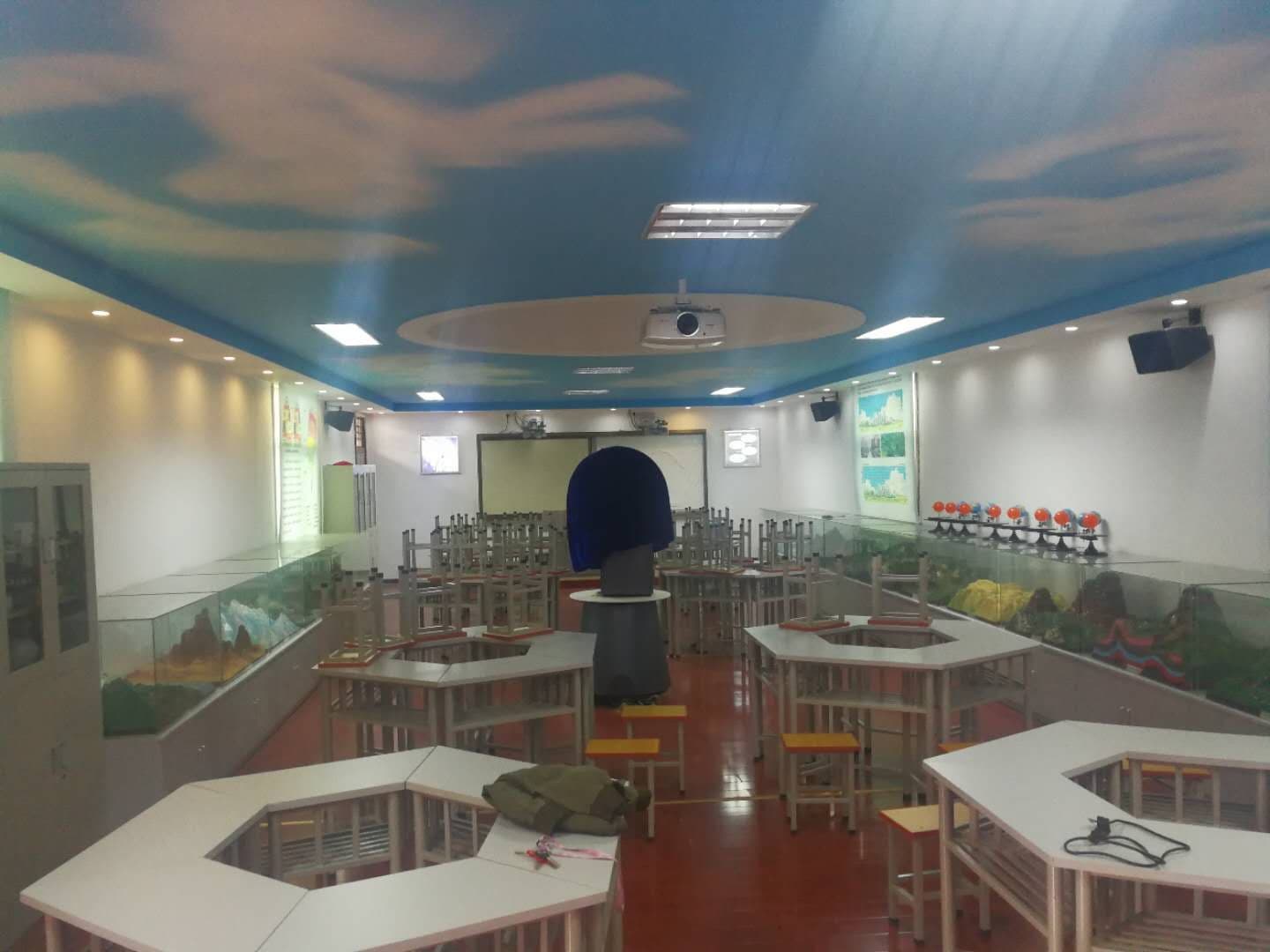
Digital geographic special classroom program follows “Construction Specification of Special Middle School Geography Classroom " by the Ministry of Education, integrates the latest achievements of modern geography education technology, dominated by "digital", creating good environment for school geography teaching, to facilitate students to consult and kinds of geographic information data such as dynamic environment data, remote sensing data and the curriculum teaching material related to geographic data, convenient for students to practice, create conditions for exploratory study and experiment on activity; To create conditions for heuristic, inquiry-based, discussion and participatory teaching, and to infiltrate the frontier of geographical science development into the course teaching.
2.1 functional objectives
It can meet the requirements of geography education teaching, facilitate students to be familiar with, contact and operate conventional geographical teaching instruments and modern geographic information technology, learn to use the globe and digital planet system to locate and obtain information about people, regions and the environment; Learn how to select and use indirect evidences -- satellite remote sensing images and other data (instruments, models, specimens, etc.) for learning; Learn how to use modern geographic information technology to obtain geographic dynamic change information, master how to use 3S technology to process, present and analyze geographical evidence, understand how to create virtual and real three-dimensional geographical space environment, and analyze geographical problems.
2.2 design ideas
1. Provide advanced digital teaching environment for geography teaching, popular science activities and environment education through the combination of digital planet system and plane projection.
2. Use the form of the surface projection display by the annulus system, play video data such as the universe and the earth, and geological disasters, the effect of play was very impressive in curriculum implementation. Curriculum import part is often the key for a class to attract students' interest to learn. Annulus system build an unbroken feeling to the audience, incarnate the changes of the vast universe and the changes of the world by time.
3. Through the demonstration system of the linkage between digital three-dimensional terrain and digital planet, elaborate the integrity and difference of natural geographical environment. Reflect that the earth is well rounded, and the relationship between local and global, the impact of local geographical environmental changes on the overall environmental changes, which greatly improves students' sense of space.
4. By demonstrating digital three-dimensional terrain, can let the students understand the distribution of the land and sea and continent terrain, geographical features, mountain river, and the global climate characteristics, the main distribution area of climate type, let the students analyze latitude location, sea and land distribution, the influence on climate, and can be further explained with examples the negative impact of human activities on the atmospheric environment and the importance of the protection of atmospheric environment.
5. By observing China's political district map, China's political district Mosaic combination model and other products, we can understand China's territory and sea areas, China's border with neighboring countries and China's administrative division, and we can form a more intuitive understanding of China's provinces, municipalities and autonomous regions through practical Mosaic.
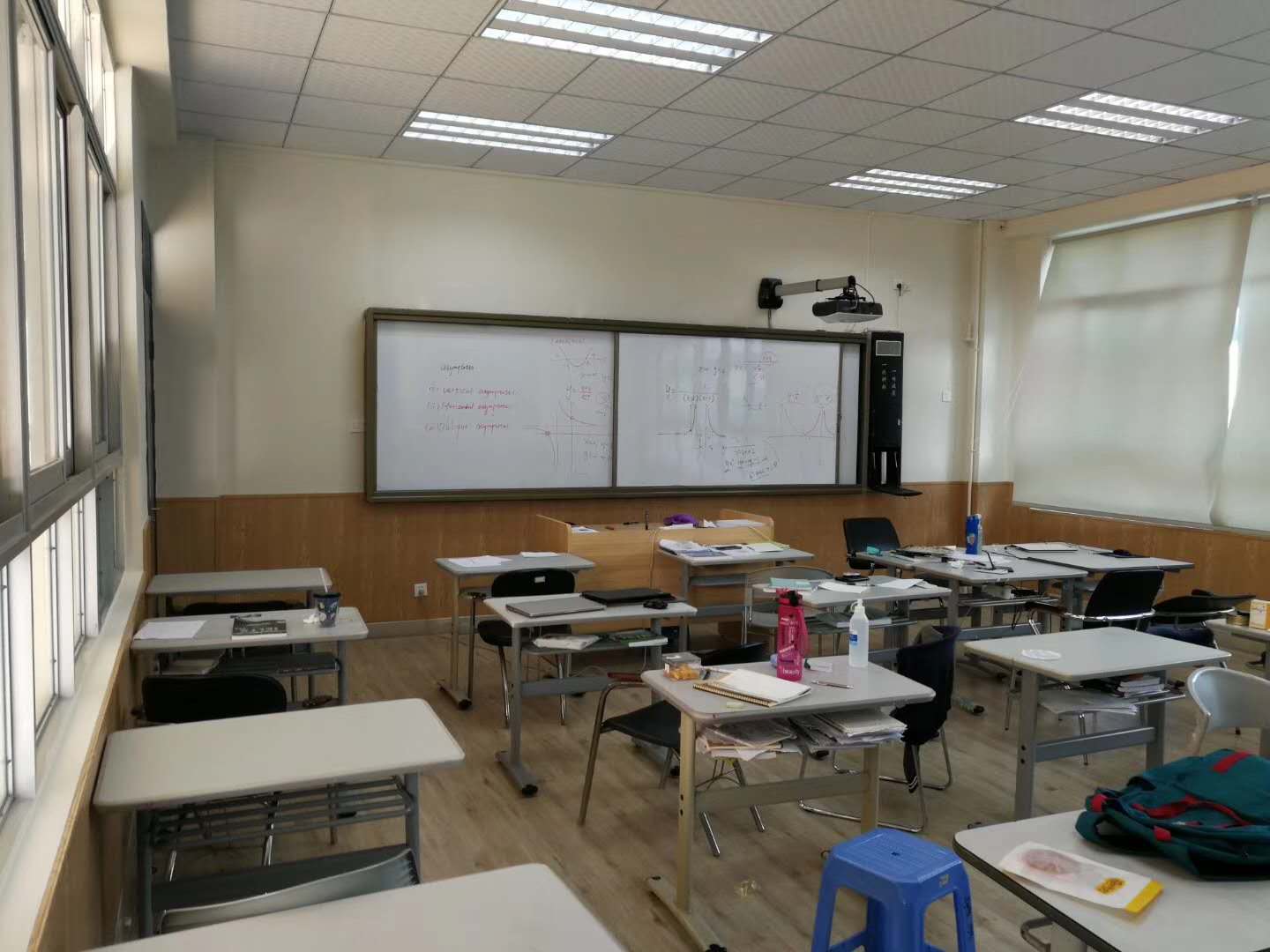
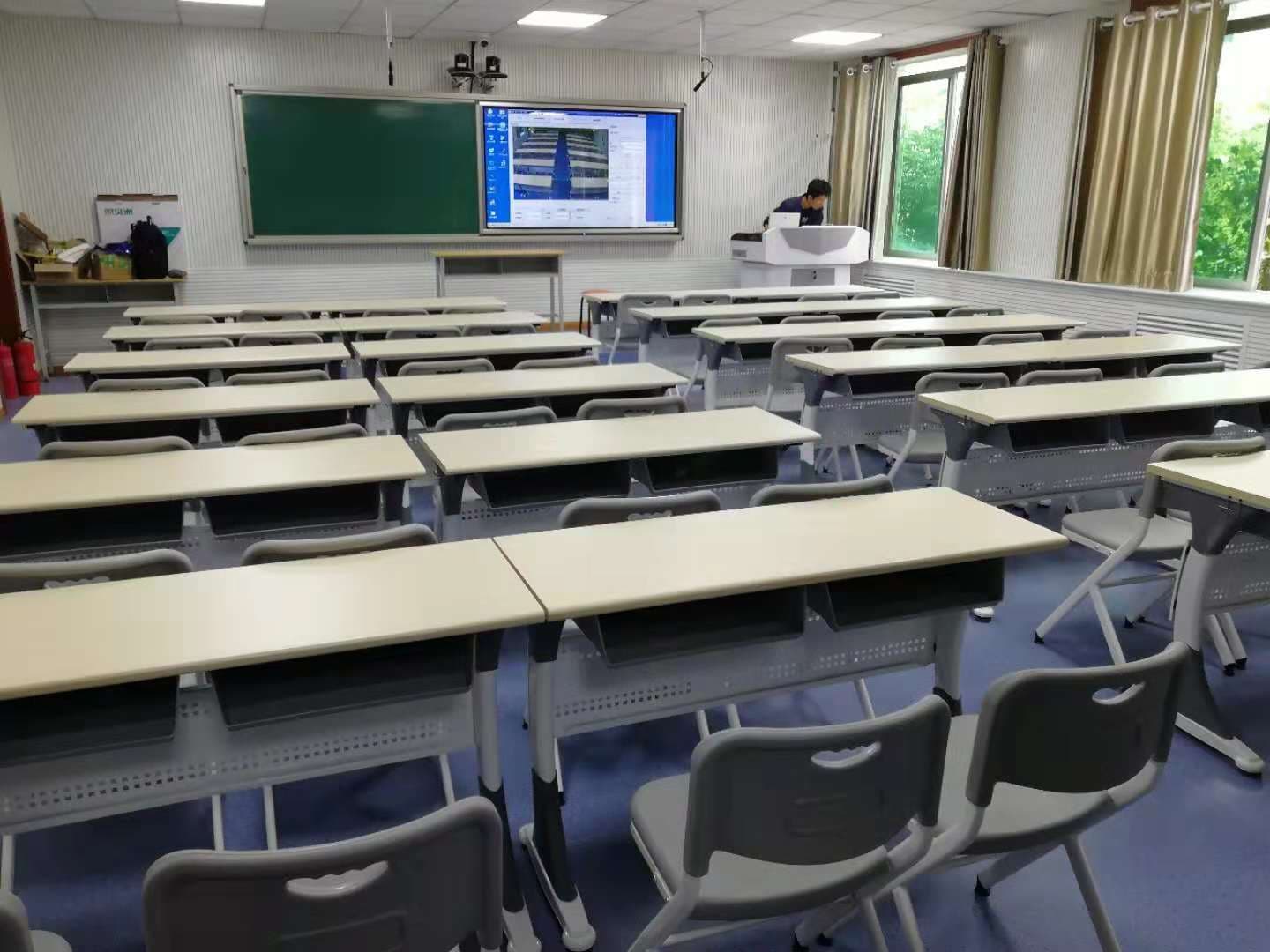
6. Make reasonable use of space to provide necessary conditions for daily teaching, open class, course evaluation and collective lesson preparation.
7. Create the overall geographical discipline environment atmosphere, the overall design is teaching-oriented, with the spatial design techniques, to achieve the discipline characteristics of the digital geography special classroom, and artistic characteristics!
- Product Info Attached File
-
Solution of Multimedia Digital Classroom (Geography) - 181210.pdf
Solution of Multimedia Digital Classroom (Auto-Record System) - 181017.pdf
Solution of Multimedia Digital Classroom (Electronic Whiteboard) - 181217.pdf
Solution of Multimedia Digital Classroom (LCD Touch Screen) - 181017.pdf
B2B Trade
| Price (FOB) | Negotiable | transportation | - |
|---|---|---|---|
| MOQ | Negotiable | Leadtime | Negotiable |
| Payment Options | T/T,Western Union | Shipping time | Negotiable |

- President
- Jane
- Address
- 7 Zhenghe Rd., Foshan, Guangdong, China
- Product Category
- Education Supplies,Other Office Supplies,Presentation Equipment
- Year Established
- 1989
- No. of Total Employees
- 501-1000
- Company introduction
-
Jane Won Education Equipment Development Limited produces advanced and modern multimedia digital education equipments for schools, colleges, universities and kindergartens; conference equipments for offices, meeting rooms.
Products include: LCD all in one touchscreen panel display, interactive electronic whiteboard, all in one machine, lecturing system, laser projector, multimedia lectern/podium and other traditional education equipment e.g. black board, green board, white board, chalk board, writing board, desk and chair for clasroom and board room, table and stool for canteen, dormitory and library facility, etc.
We build complete projects of intelligent digital multimedia classrooms and meeting rooms, special purpose classrooms, e.g. Geometry classroom, and provide solutions of intellectual campus, multimedia education, conference system.
- Main Markets
-
 Australia
 Brazil
 China
China
 India
India
 Russia
 South Africa
 U.A.E.
- Factory Information
-
Gengyun
- Main Product




_2.jpg)


